News
Monitoring the Mekong drought

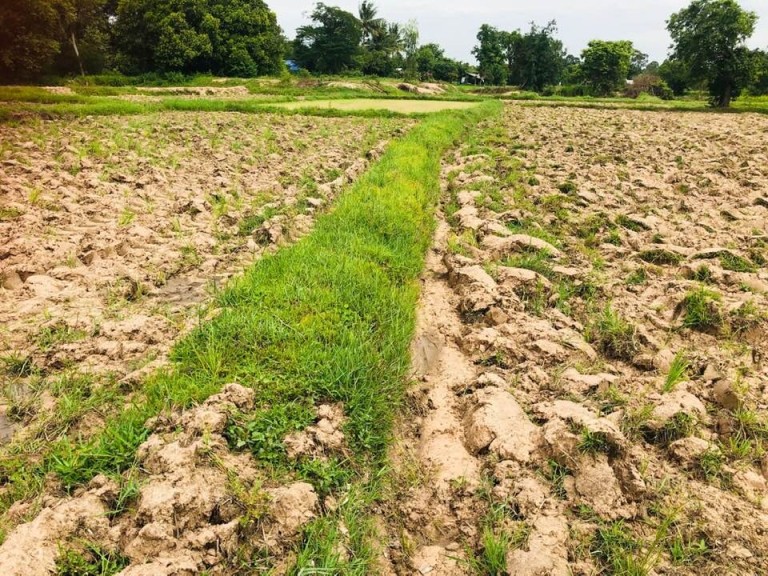
As part of the Mekong Water Data Initiative (MWDI), the Sustainable Infrastructure Partnership (SIP) is continuing its long-standing collaboration with Eyes on Earth in a new effort to provide near real-time monitoring of climate conditions in the Mekong region. This collaboration begins as northeastern Thailand, central Cambodia, and parts of Myanmar continue to experience the most severe drought in the space of a generation. Under the agreement, Eyes on Earth will monitor climate conditions in the Mekong River Basin for the next few months.
Current drought monitoring shows that, for the second year running, conditions are at the extreme end of the 26-year record. Temperature and dryness maps, provided by Eyes on Earth, are posted every week to the SIP Facebook page. Thousands of users are accessing the maps that depict current drought conditions. At the start of the rice-planting season, a 17 July post on the SIP Facebook page reached more than 5,600 people.
Since 2019, Eyes on Earth has provided occasional support for drought and flood monitoring in the Mekong region. “What we are seeing is that civil society groups and individuals in the region are reposting or linking to these maps and sharing them with their own networks,” said Suparerk Janprasart, SIP Program Director. “We hope that providing this information helps confirm the greater frequency of extreme weather events and shifts in climate patterns that are happening in the Mekong River Basin and around the world. Monitoring the significant impact of human activity is an important challenge for all of us.”
Christy Owen, Pact Country Director for Thailand, which implements the SIP program, added, “We believe this monitoring will complement the work of key stakeholders such as water agencies, water resource managers, dam operators, experts, local resource users and other groups affected by these changes. The aim is to support all concerned to cooperate in investigating the prospects for both short and long-term mitigation actions. Public accessibility and free exchange of water data among stakeholders and all Mekong countries are the foundation of such work.”
In the coming weeks, SIP will also begin trialing a bi-weekly flow prediction model. The model combines satellite data on surface wetness in the Upper Mekong Basin with mathematical modeling. “This is a pilot project, which we hope will complement other flow monitoring methods that have already been adopted by the Lower Mekong countries and the Mekong River Commission (MRC),” said Janprasart.
“The current drought situation is troubling. SIP is playing a role in promoting data transparency in the Mekong region,” said Owen. “Everyone who needs this information can use it freely.”
Eyes on Earth is a US-based consultancy service founded by climatologist Alan Basist. The service provides global weather and climate observations, using satellite data and proprietary tools to analyze changes that affect soil moisture and temperature patterns. The observations can be used for many different purposes, for example, to:
- Identify conditions that affect crop growth.
- Predict stream flow for managing electricity generation.
- Facilitate climate mitigation strategies.
- Monitor implementation of water-sharing agreements.
- Support insurance companies’ underwriting of catastrophic events.
MWDI is part of the Lower Mekong Initiative, a multinational partnership among Cambodia, Lao PDR, Myanmar, Thailand, Viet Nam and the United States to address complex, transnational development and policy challenges in the Lower Mekong sub-region. SIP advances the goals of the MWDI and facilitates the sharing of water data and web-enabled tools via the MWDI’s collaboration platform, mekongwater.org.